(404) 505-8181
Services
REQUEST A QUOTE

3D Machine Control and Stakeout Modeling:
Construction Data Services prepares 3D models and other industry related services for all types of projects. These projects range from small residential and commercial sites to major DOT freeway systems. Our services are available in any file format. Regardless of the machine guidance or measurement system you use, we can deliver your machine and stakeout files in a format that meets your requirements.
SITES:
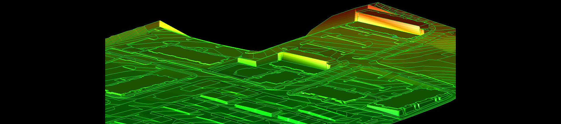
Our standard scope of services for a typical site model includes finished grade for all building pads, entrance-access drives, sidewalk, parking areas, ponds, ditches, and swales. The linework will include the horizontal location of edges of paving, edges of valley gutters, sidewalk positions, driveway aprons, curb locations, 2D drainage structures, utility locations, surface generated contours, and the surface limit line.
SUBDIVISIONS:
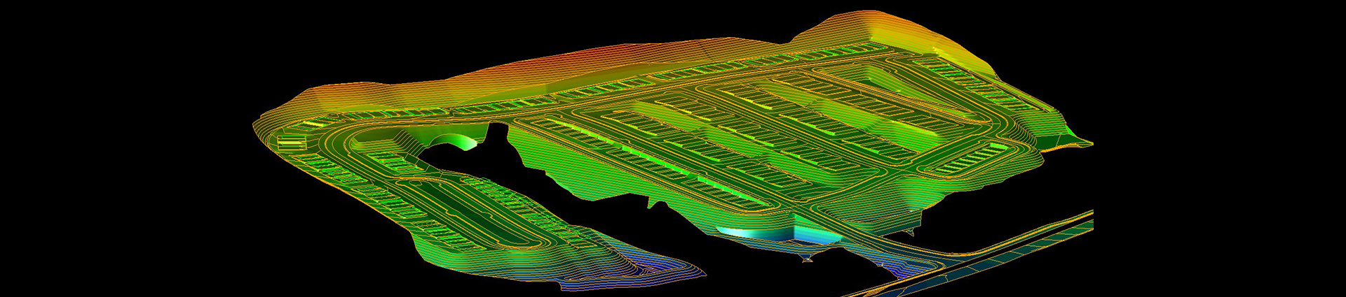
Subdivisions share many of the same attributes as a site model apart from the roads, intersections, and cul-de-sacs. All of our road corridors are prepared and checked by hand. Intersections and cul-de-sacs are adjusted and checked for proper drainage. The standard scope of services on a typical subdivision includes a finished grade surface for all roads, building pads, sidewalk, parking areas, ponds, ditches, and swales. Our linework will include the horizontal location of edges of paving, edges of valley gutters, sidewalk positions, driveway aprons, curb locations, 2D drainage structures, utility locations, surface generated contours, and the surface limit line.
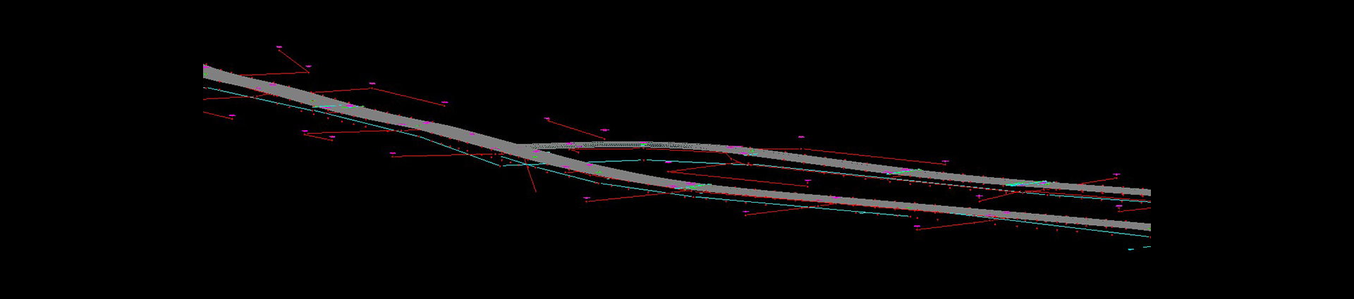
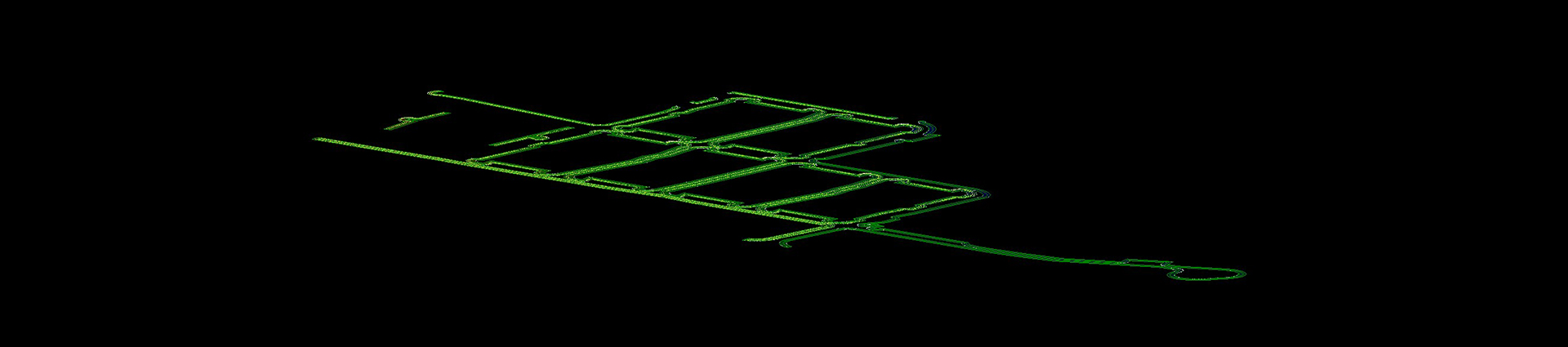
DOT AND NON-DOT ROADWAYS:
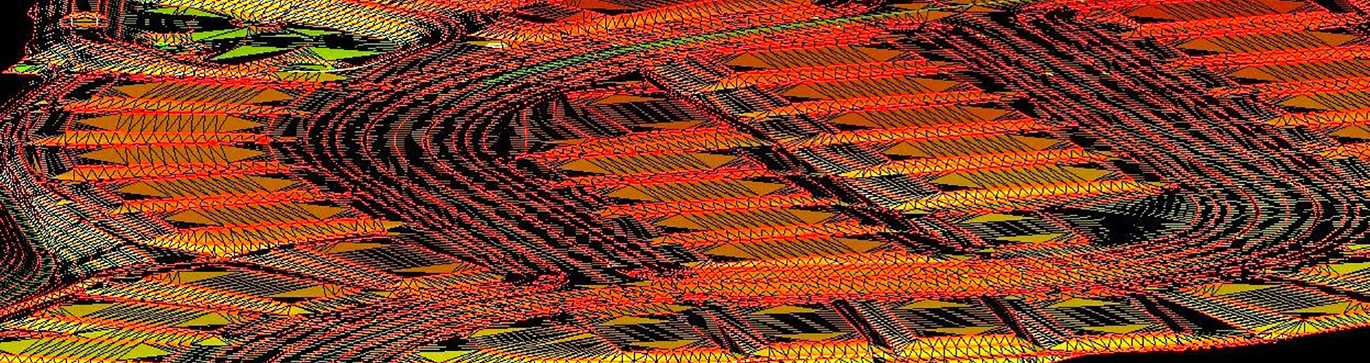
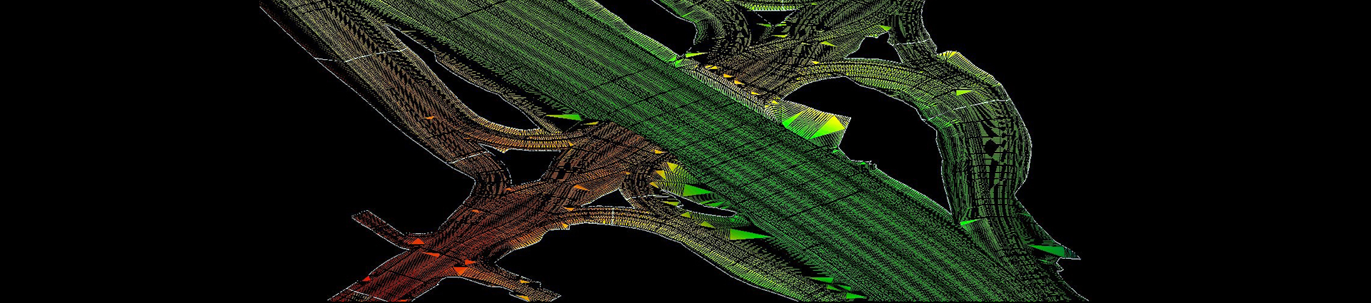
While the finished appearance may look the same, roadway models are quite different and much more complex to prepare. In most cases the horizontal alignment and profile grade line (PGL) are entered by hand and checked to the CAD file ensuring all the plan callouts are correct. Unlike site models which utilize spot elevations and contours, most of the features in a roadway model are created from station, offset, and slope coming from the horizontal alignment and PGL. Our standard scope of services for roadway models includes a finished grade surface for the entire project from tie-in point to tie-in point. Our surfaces will include the finished grade for all roads, side-slopes, ditches, and swales. The line work we provide will include the horizontal alignments and stationing, edges of paving, edges of shoulders, curb locations, guiderail locations, 2D drainage structures, surface generated contours, and the surface limit line. As with any of our products, we can customize our deliverables to your exact needs.
OPTIONS:
Optional items outside of our standard scope of services can be added for an additional charge. These items typically include 3D stormdrain and sanitary sewer, separate erosion control surfaces, major drainage structure surfaces, curb layback in parking areas, and offsets to edge breaklines.
CURB AND PAVING MODELS:
Most power curb machines and pavers do not use the same file format as earthmoving equipment. Our data prep specialists understand the importance of the direction and sequencing the paving lines must have for the machine to read the model correctly. We can prepare your curb and paving files simultaneously when preparing your grading model.

QUANTITY TAKEOFF SERVICES:
Quantity takeoff services are an essential component for accurately estimating project costs. This ensures your team can operate efficiently from the start. Our comprehensive reports provide a quantified breakdown of specified materials. By utilizing our quantity takeoff services, your company can submit a more competitive bid and complete the project more efficiently avoiding delays that come from material shortages or other costly oversights. Quantity takeoffs include volumetric, linear, individual count, and area quantification.

FILE CONVERSIONS:
CDS can convert your machine and stakeout files from one format to another making mixed fleets easily supported. In most cases this is a no-charge service for our returning clients.
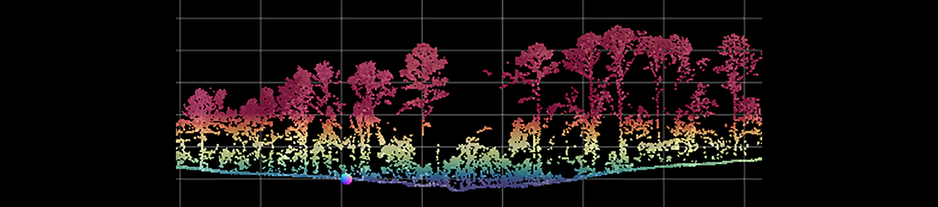
PHOTOGRAMMETRY AND POINT CLOUD PROCESSING:
Photogrammetry is the science of rectifying and converting aerial images into a 3D surface. The raw data is a series of photos usually obtained utilizing a UAV. Using powerful software, the images are rectified and converted into a point cloud. Point cloud data is a group of 3D points representing the exposed surface of objects and terrain. As previously indicated, this raw data can be obtained through photogrammetric methods or the utilization of a lidar scanner. These files can contain millions of points and are extremely large, making them very difficult to work with.
Construction Data Services will convert your raw point cloud files into usable 3D surfaces and linework. These files are much smaller and easier to work with. As with any of our services, we will customize our point cloud processing to match your project needs and efficiently provide you with the files in your preferred format.